Posts

Showing posts from November, 2022

November 2022 Update SA

Image
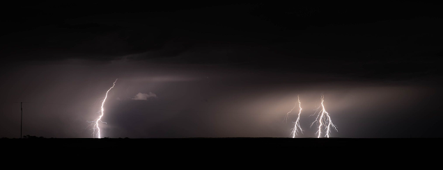
November 2022 update SA *Forecast prepared between Nov 20th-22nd 2022 Review: G’Day everyone, quite late this time sorry but really hope you are all doing well and are no doubt flat chat trying to sort crops out In between all this rain despite a nice warm to hot period a couple of weeks ago, its been a tough month so far with numerous strong cut off lows with showers, thunderstorms and flooding on rinse and repeat. But there is some good news! Firstly though I’ll cover the more noteable events below briefly. Early November saw a barrage of very cold air on the 1st which drove squally showers, cold air thunder and numerous showers of small hail up from the deep south with a bitterly cold day. Rainfalls were already solid from the days prior, and rivers began to get quite swollen. A quick change and conditions warmed up with a burst of low to mid 30’s for many areas on the 8th and 9th which would have been welcome, but it did not last with a major thunderstorm outbreak on the 12th with

Special Update SA Severe Thunderstorms 12th-13th Nov 2022

Image
  Special Update SA Severe Thunderstorms 12th-13th Nov 2022 G’Day everyone! As promised a bit of a spiel about tomorrow’s system and what we might expect through the course of the day – it is looking fairly significant although I think if you are far south enough, you should escape the worst of the thunderstorm activity and mostly be dealing with showers, rain and humid conditions. Meteorological Discussion Essentially what we are looking at is a deepening low out of WA, moving SE into SA tonight (Fri 11th). This low with combine with a very strong jetstream to it’s north and upper trough to it’s west to generate showers and thunderstorms overnight tonight out west, moving eastwards tomorrow with multiple severe thunderstorms likely. Fri 11th For the most part today will be a lovely day for a majority of the state apart from some isolated afternoon and evening showers and thunderstorms developing across the NW Pastoral well into the interior. Through the evening however after dark, the

November 2022 outlook SA

Image
              November 2022 Outlook SA *Forecast prepared between Nov 4th-6th 2022 Review: G’Day everyone, feels like only a few days ago that I pumped out that quick update for the deep low and associated cold air outbreak. There certainly was some wild weather involved although fortunately the strong thunderstorms were mostly confined to the Lower and Upper North with some strong supercells. I went up for a look and managed to get very close to what was an attempted tornado just south of Mount Bryan. The storm also had numerous large funnels from near Spalding up to half an hour earlier. I am almost certain it may have touched down at some point. There was also a second one further south that hooked up near Auburn to Eudunda. If anyone has any photos or accounts from the day, please inform either Peter or Alex. I must say the crops looked pretty good through much of the areas that I travelled but the enormous amount of rain after must have taken some sort of toll, especially for thos