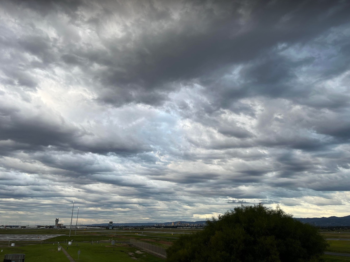
August 2022 Update SA

August 2022 Update SA *Forecast prepared between August 16th-18th 2022 Review: G’Day everyone, the middle of the month is here and that means time for another little update on proceedings. So far, the month has gone to plan with a broad shift in the patterns from the blocking and high pressure of July to more mobile systems and increased moisture out of the NW. But we have only just started, more significant systems are yet to come through either later this month or spring generally once higher Precipitable Water (PWAT) moisture can feed in. The main change has been the Longwave Trough, which has stood up very strongly over the WA longitude, giving them a significant burst of good falls to start August. This large Longwave resulted in a period of windy conditions over SA with N to NW winds over many days, strong and gusty at times with raised dust in very dry parts, in particular on the 2nd ahead of the first sliding front. Multiple fronts and troughs then rotated around a complex low ...
